Methodology
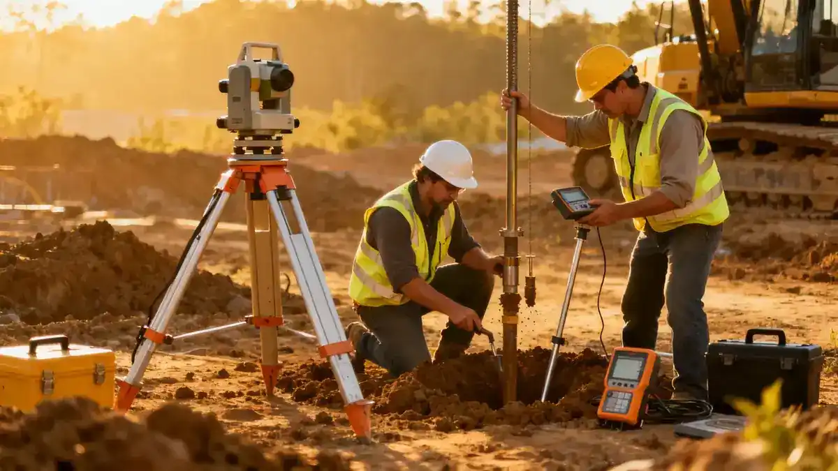
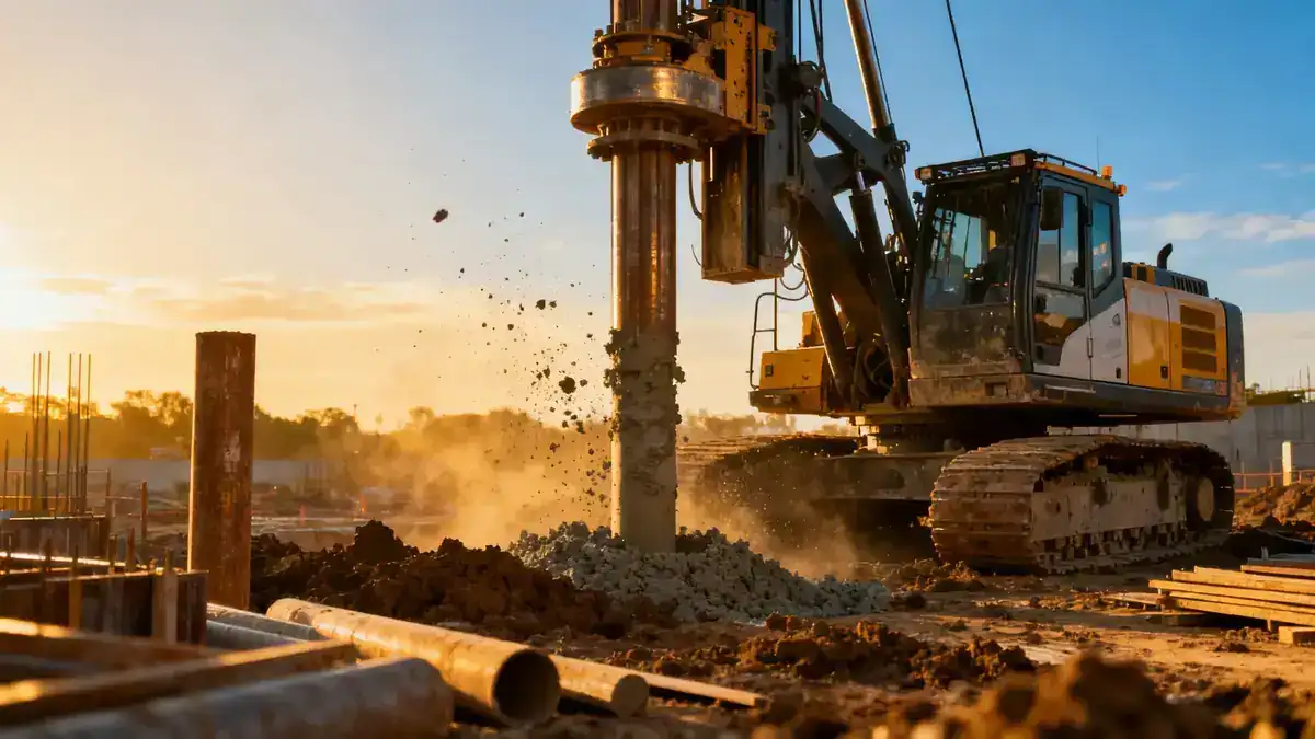
Our methodology for geotechnical engineering in Surprise Arizona integrates field exploration, laboratory analysis, and computational modeling. We begin with a review of regional geologic maps and historical data to identify potential hazards. Fieldwork includes spt boring at strategic locations to characterize subsurface stratigraphy and collect disturbed and undisturbed samples. Soil classifications follow ASTM D2487, while strength parameters are derived from direct shear and triaxial tests. Groundwater monitoring wells are installed to track seasonal fluctuations. All data are synthesized into a comprehensive report that addresses bearing capacity, settlement, seismic site classification per ASCE 7-22, and construction recommendations. This systematic approach ensures reliable outcomes for every project.
Reference Technical Parameters
| Parameter | Reference Value |
|---|---|
| Predominant soil type | Alluvial sands, silts, and clays with localized gravels |
| Maximum seismic acceleration (PGA) | 0.25g (Site Class D per ASCE 7-22) |
| Typical groundwater level | 20–40 ft below ground surface (variable seasonally) |
| Bedrock depth | >100 ft (deep sedimentary basin) |
| Typical N60 range | 10–30 blows/ft (sands) to 5–15 blows/ft (clays) |
Local Considerations — Surprise Arizona
Surprise's geology is dominated by Quaternary alluvium from the White Tank and Bradshaw Mountains, resulting in heterogeneous soil profiles. Expansive clays are common in the northern and eastern areas, requiring mitigation such as over-excavation or moisture conditioning. Liquefaction potential is low due to deep groundwater, but near-surface silty sands may be susceptible under seismic loading. Western subdivisions often encounter caliche layers that complicate excavation. Our team regularly coordinates with city engineers to satisfy Surprise-specific grading and drainage ordinances. For projects requiring regional context, we reference our geotechnical engineering en Phoenix hub, which provides deeper insight into the broader Maricopa County framework.
Request a Quote
Our team reviews your project and issues an initial report at no cost.
Or write us directly at [email protected]
Services in Surprise Arizona
Applicable Standards
- ASTM D1586 (Standard Test Method for Penetration Test and Split-Barrel Sampling of Soils)
- ASTM D2487 (Standard Practice for Classification of Soils for Engineering Purposes)
- ASCE 7-22 (Minimum Design Loads for Buildings and Other Structures)
- International Building Code (IBC) 2021
- City of Surprise Grading and Drainage Ordinance
Frequently Asked Questions
What are the dominant soil types encountered in Surprise, Arizona?
Surprise's subsurface primarily consists of alluvial sands, silts, and clays, with localized gravel lenses. Expansive clays are prevalent in northern and eastern areas, posing risks for foundation movement. Proper characterization through laboratory testing is essential for designing effective mitigation measures.
How does seismic hazard affect geotechnical design in Surprise?
Surprise falls within Seismic Design Category C per ASCE 7-22, with a peak ground acceleration of 0.25g. The deep alluvial basin amplifies long-period motions, making site-specific response analysis important for tall structures. Liquefaction potential is generally low due to deep groundwater, but loose silty sands require evaluation.
Are geotechnical studies mandatory for residential construction in Surprise?
Yes, the City of Surprise requires a geotechnical investigation for most new residential subdivisions and commercial buildings. The study must address soil bearing capacity, expansive soil potential, and drainage. Our team ensures compliance with local ordinances while providing cost-effective recommendations.