Methodology
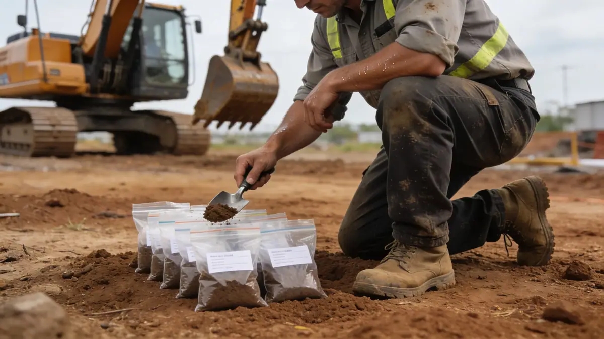
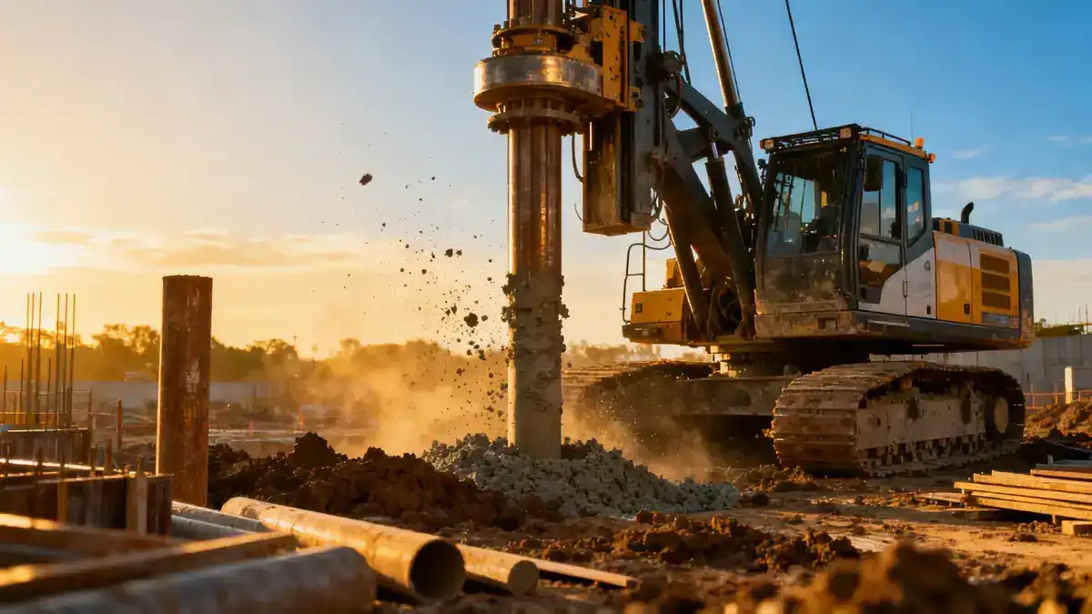
Our methodology for geotechnical engineering in Newark begins with a thorough review of existing geological maps and historical data. We then conduct targeted field investigations, including spt boring to obtain soil samples and measure resistance, as per ASTM D1586. Laboratory tests on recovered samples determine index properties, strength, and consolidation characteristics. We integrate these data with site-specific seismic hazard analyses, referencing ASCE 7-16 for ground motion parameters. Our approach ensures that every recommendation is tailored to Newark's unique subsurface profile, from shallow foundations to deep pile systems.
Reference Technical Parameters
| Parameter | Reference Value |
|---|---|
| Predominant soil type | Alluvial silts and clays, with sand and gravel lenses |
| Maximum seismic acceleration (PGA) | 0.2g to 0.3g (ASCE 7-16, Site Class D) |
| Typical groundwater level | 1.5 to 4.5 meters below ground surface |
| Bedrock depth | 15 to 30 meters (Newark Basin sedimentary rock) |
| Typical N60 range | 4 to 15 in soft soils; 20 to 50 in dense sands |
Local Considerations — Newark
Newark's subsurface is dominated by alluvial deposits of the Passaic River, with soft clays and silts that often require deep foundations. The water table is shallow, especially in the Ironbound district, complicating excavations and requiring dewatering. Seismic hazard is moderate, with a PGA of 0.2-0.3g, necessitating adherence to ASCE 7-16 for site-specific response spectra. The contrast between historic fill areas near the waterfront and natural deposits inland demands careful zoning of investigations. Typical projects include high-rise foundations in downtown Newark and infrastructure upgrades along the river, where our team has extensive experience. For broader regional context, see our work on geotechnical engineering in New York.
Request a Quote
Our team reviews your project and issues an initial report at no cost.
Or write us directly at [email protected]
Services in Newark
Applicable Standards
- ASTM D1586 (Standard Test Method for Standard Penetration Test (SPT))
- ASCE 7-16 (Minimum Design Loads and Associated Criteria for Buildings and Other Structures)
- Newark Municipal Code (Chapter 24 – Buildings and Construction)
- IBC 2018 (International Building Code, adopted by New Jersey)
- NJDEP (New Jersey Department of Environmental Protection) regulations for soil and groundwater management
Frequently Asked Questions
What are the typical soil conditions encountered in Newark?
Newark's soils are predominantly alluvial silts and clays from the Passaic River, with interbedded sand and gravel layers. The water table is often high, at depths of 1.5 to 4.5 meters. Bedrock, consisting of sedimentary rocks of the Newark Basin, is typically found at depths of 15 to 30 meters, requiring deep foundations for heavy structures.
How does seismic hazard affect geotechnical engineering in Newark?
Newark is in a moderate seismic zone, with a peak ground acceleration (PGA) of 0.2g to 0.3g for a 2% probability of exceedance in 50 years, per ASCE 7-16. Site-specific response spectra must account for soil amplification due to soft alluvial deposits. This influences foundation design, liquefaction potential, and retaining wall stability.
Are geotechnical studies mandatory for construction projects in Newark?
Yes, the Newark Municipal Code and New Jersey building codes (IBC 2018) require a geotechnical investigation for most new construction and significant renovations. The extent depends on project size and risk, but typically includes soil borings, laboratory testing, and a report with recommendations for foundations, earthwork, and seismic design.