Methodology
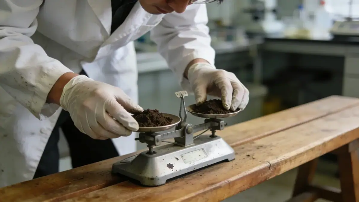
Our methodology begins with a comprehensive review of existing geologic maps and prior site data. We then conduct a field exploration program tailored to the project, typically including spt boring at multiple locations to assess soil stratigraphy and strength. Samples are collected for laboratory classification, including grain size analysis (ASTM D6913) and Atterberg limits. Groundwater levels are monitored during and after drilling. For seismic design, we evaluate site class per ASCE 7-16 based on shear wave velocity or N60 values. All work adheres to ASTM D1586 for SPT and relevant local codes.
Reference Technical Parameters
| Parameter | Reference Value |
|---|---|
| Predominant soil type | Silty clay and clayey gravel (alluvial deposits) |
| Maximum seismic acceleration (PGA) | 0.15g to 0.20g (ASCE 7-16, Site Class D) |
| Typical groundwater level | 5 to 15 feet below ground surface |
| Bedrock depth | 20 to 50 feet (sandstone and mudstone) |
| Typical N60 range | 4 to 30 blows per foot |
Local Considerations — Missoula
Missoula sits within the Clark Fork River valley, underlain by glacial lake deposits and alluvial terraces. Expansive soils are common, requiring moisture control and special foundation detailing. The region is seismically active due to the Intermountain Seismic Belt; peak ground accelerations of 0.15–0.20g are typical. Groundwater is shallow near the river, affecting excavation and foundation drainage. Neighborhoods on the valley floor (e.g., near the University) often require deeper foundations, while hillside developments (e.g., South Hills) face slope stability concerns. Typical projects include residential subdivisions and commercial buildings. For broader context, our geotechnical engineering en Seattle team applies similar rigorous methods in the Pacific Northwest.
Request a Quote
Our team reviews your project and issues an initial report at no cost.
Or write us directly at [email protected]
Services in Missoula
Applicable Standards
- ASTM D1586
- ASCE 7-16
- IBC 2018
- ASTM D6913
- ASTM D4318
Frequently Asked Questions
What soil types are commonly found in Missoula?
Missoula's soils are predominantly alluvial silty clays and clayey gravels, with glacial lake deposits containing expansive clays. Sand and gravel layers are present near the Clark Fork River. These variations require site-specific testing.
Are seismic studies required for construction in Missoula?
Yes, due to moderate seismic hazard from the Intermountain Seismic Belt. ASCE 7-16 Site Class D is typical. Projects in Risk Category II or higher require a site-specific response spectrum or simplified seismic analysis per local codes.
When is a geotechnical investigation mandatory in Missoula?
Most commercial and multi-family residential projects require a geotechnical report per IBC 2018. Single-family homes may not be mandatory, but lenders and insurers often request one for expansive soil or slope issues.