Methodology
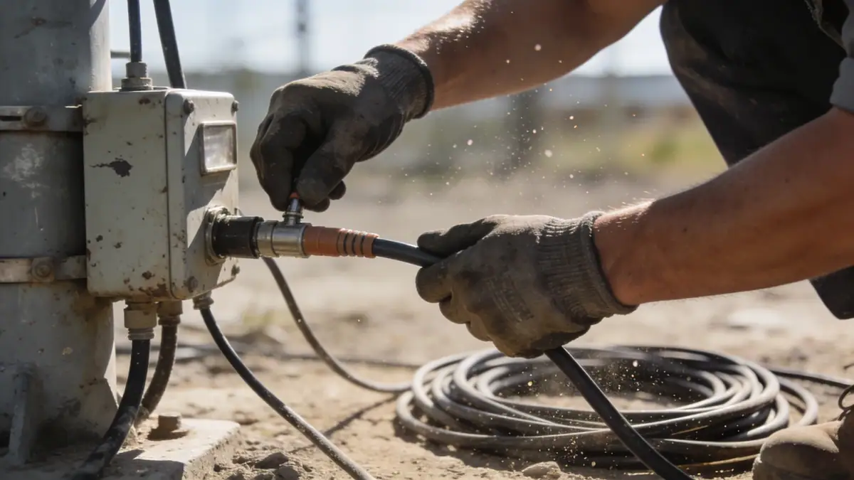
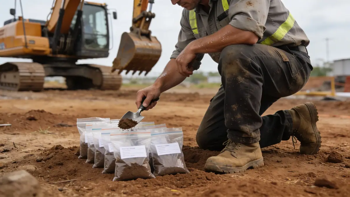
Our methodology for geotechnical engineering in Columbus Georgia begins with a thorough review of existing geological maps and records. We then conduct field investigations, including standard penetration testing (SPT) per ASTM D1586, to assess soil strength and stratification. In-situ tests are complemented by laboratory analyses such as grain size distribution and Atterberg limits. For seismic evaluations, we reference ASCE 7-16 to determine site class and design response spectra. Our integrated approach ensures that foundations, slopes, and retaining structures are designed with accurate soil parameters. We emphasize quality control through continuous monitoring and data verification, providing clients with dependable results for projects across Columbus Georgia. For detailed information on our field testing methods, visit our spt boring page.
Reference Technical Parameters
| Parameter | Reference Value |
|---|---|
| Predominant soil type | Residual sandy clay and silty sand over weathered gneiss |
| Maximum seismic acceleration (PGA) | 0.1–0.2 g (ASCE 7-16, Site Class C) |
| Typical groundwater level | 3–8 m below ground surface, varies seasonally |
| Bedrock depth | 5–15 m in upland areas; >20 m near river |
| Typical N60 range | 10–30 blows/ft in residual soils; 50–100+ in weathered rock |
Local Considerations — Columbus Georgia
Columbus Georgia lies within the Piedmont physiographic province, characterized by rolling topography underlain by metamorphic and igneous bedrock. Residual soils, primarily sandy clays and silty sands, are common and exhibit variable thickness due to differential weathering. Groundwater levels fluctuate with the Chattahoochee River, requiring careful dewatering planning in low-lying areas. Seismic hazard is moderate; per ASCE 7-16, the maximum considered earthquake (MCE) spectral response acceleration at 0.2 s is approximately 0.2 g. Our team has extensive experience with these conditions, having supported numerous projects from downtown high-rises to suburban developments. For further insights into regional soil behavior, refer to our soil mechanics laboratory services. Additionally, our principal office in Atlanta provides regional coordination; visit geotechnical engineering en Atlanta for more on our broader capabilities.
Request a Quote
Our team reviews your project and issues an initial report at no cost.
Or write us directly at [email protected]
Services in Columbus Georgia
Applicable Standards
- ASTM D1586
- ASCE 7-16
- IBC 2021
- Georgia State Minimum Standard Codes
Frequently Asked Questions
What are the typical soil conditions encountered in Columbus Georgia?
Soils in Columbus Georgia are predominantly residual, derived from in-situ weathering of underlying gneiss and schist. They consist of sandy clays and silty sands with varying amounts of mica. In river valleys, alluvial deposits of sand and gravel are common. Bedrock depth ranges from 5 to 15 meters in uplands to over 20 meters near the Chattahoochee River.
How does seismic design apply to projects in Columbus Georgia?
Columbus Georgia is in Seismic Design Category B per IBC 2021, with a mapped spectral response acceleration at 0.2 s of about 0.2 g. Site-specific response spectra may be required for critical structures. Our firm follows ASCE 7-16 to determine site class and design parameters, ensuring compliance with local building codes.
Are geotechnical investigations mandatory for construction in Columbus Georgia?
While not always legally required for all projects, most local jurisdictions recommend or require geotechnical investigations for commercial buildings, multi-story structures, and infrastructure. A thorough investigation helps mitigate risks associated with variable soil conditions, groundwater, and seismic loading, and is often mandated by lenders or insurers.