Methodology
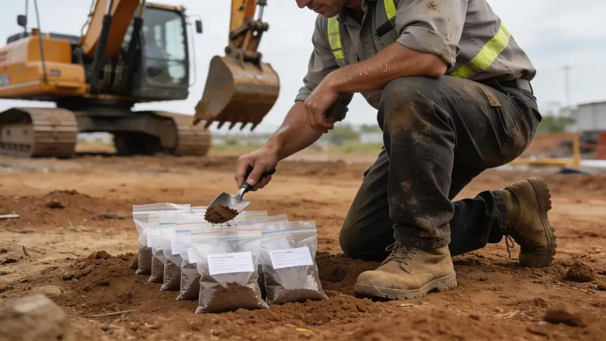
Our approach to geotechnical engineering in Billings begins with a thorough review of existing geological maps and nearby project records. We then develop a site-specific exploration plan, typically combining spt boring for soil sampling and standard penetration testing, with test pits and geophysical surveys where appropriate. In the field, our crews follow ASTM D1586 for SPT procedures, recording blow counts and soil classifications. Laboratory testing, including natural moisture content, Atterberg limits, and unconfined compression, is performed on representative samples. All data is synthesized into a comprehensive geotechnical report with foundation recommendations, seismic site classification, and construction considerations tailored to Billings conditions.
Reference Technical Parameters
| Parameter | Reference Value |
|---|---|
| Predominant Soil Type | Clayey silt and silty sand, with gravel lenses |
| Maximum Seismic Acceleration (PGA) | 0.20–0.30 g (ASCE 7-16, Site Class D) |
| Typical Groundwater Level | 8–15 ft below grade (variable along river terraces) |
| Bedrock Depth | 50–200 ft (Fort Union Formation) |
| Typical N60 Range | 5–30 blows/ft in alluvium; >50 in glacial till |
Local Considerations — Billings
Billings sits on the Yellowstone River valley, with alluvial terraces overlaying Cretaceous and Tertiary sedimentary rocks. The soil profile often includes soft clayey silts near the river, stiff glacial tills on the benchlands, and expansive clays in the Heights area. Groundwater is shallow near the river, affecting excavation dewatering. Seismic hazard is moderate, with a PGA up to 0.30 g per ASCE 7-16; site class is typically D or C. For more on our foundation-related services, see retaining wall design. Our team is also part of geotechnical engineering en Denver, providing regional expertise.
Request a Quote
Our team reviews your project and issues an initial report at no cost.
Or write us directly at [email protected]
Services in Billings
Applicable Standards
- ASTM D1586
- ASCE 7-16
- IBC 2021
- Billings City Code Chapter 18 (Soils and Excavations)
Frequently Asked Questions
What soil types are commonly found in Billings?
Billings soils vary from alluvial silts and sands near the Yellowstone River to glacial tills and expansive clays on the benchlands. Bedrock consists of sandstone, shale, and coal from the Fort Union Formation, typically encountered at depths of 50 to 200 feet.
Is a geotechnical investigation required for building permits in Billings?
Yes, the Billings City Code requires a geotechnical report for most new structures and additions, particularly in areas with known expansive soils or high groundwater. The report must address foundation design, slab support, and seismic site classification per the IBC.
What seismic design category applies to Billings?
Billings falls under Seismic Design Category C or D per ASCE 7-16, depending on site soil conditions. The mapped spectral acceleration (Ss) ranges from 0.37 to 0.50 g, and site class D is common, requiring careful detailing for lateral loads.